Image Source: Pexels
Maps have been used for centuries as a way to understand and navigate the world around us. One particular type of map that is incredibly useful is the geographic map. A geographic map is a representation of the Earth’s surface that displays natural and cultural features such as rivers, mountains, cities, and borders. In this article, we’ll take a closer look at geographic maps, exploring their functions and examining the different parts that make them up.
Functions of Geographic Maps
Geographic maps have a wide range of functions that make them valuable tools in many different industries. One of the primary functions of geographic maps is to provide a visual representation of the Earth’s surface. This can be incredibly useful for understanding natural features like rivers, mountains, and forests, as well as cultural features like cities, roads, and borders.
Another important function of geographic maps is to aid in navigation. By providing accurate information about the location of cities, roads, and other landmarks, geographic maps can help people navigate unfamiliar terrain. This can be especially useful for hikers, travelers, and people in the military.
Geographic maps are also used in scientific research. For example, scientists can use geographic maps to study the distribution of animal and plant species, or to track changes in the Earth’s climate over time. This information can be used to make better decisions about conservation efforts and to understand the impact of human activity on the environment.
Parts of a Geographic Map
A geographic map is made up of several different parts, each of which serves a specific purpose. Some of the most important parts of a geographic map include:
Key or Legend
The key or legend is a box that explains the symbols and colors used on the map. This is important because it allows readers to understand what each symbol represents. For example, a blue line on a map might represent a river, while a red line might represent a highway.
Scale
The scale is a line or bar that indicates the size of the area being represented on the map. This is important because it allows readers to understand the relative size of different features on the map. For example, if the scale of a map is 1:100,000, it means that one inch on the map represents 100,000 inches (or about 1.6 miles) on the ground.
Compass Rose
The compass rose is a symbol that indicates the orientation of the map. It typically shows the four cardinal directions (north, south, east, and west) as well as intermediate directions (northeast, northwest, southeast, and southwest).
Gridlines
Gridlines are lines that are drawn on the map to help readers locate specific features. They are typically drawn using latitude and longitude coordinates, which can be used to pinpoint a specific location on the map.
Title
The title of the map is an important part of the map because it gives readers an idea of what the map is about. It should be concise but descriptive, and should accurately reflect the content of the map.
Types of Geographic Maps
There are many different types of geographic maps, each of which serves a specific purpose. Some of the most common types of geographic maps include:
Physical Maps
Physical maps show natural features like mountains, rivers, and deserts. They are often used for hiking, camping, and other outdoor activities.
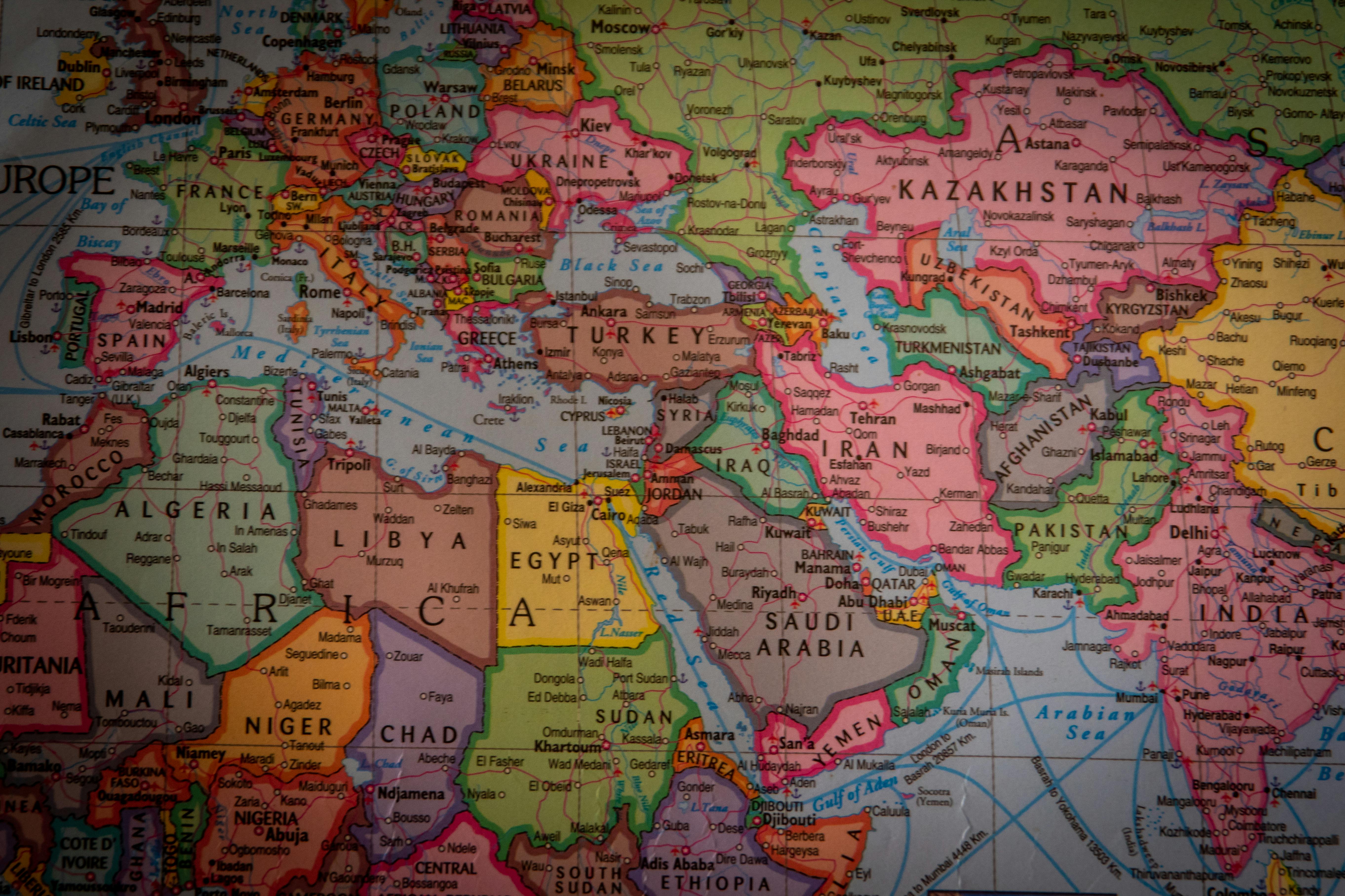
Political Maps
Political maps show the boundaries between different countries, states, and cities. They are often used for understanding political relationships and for planning travel.
Topographic Maps
Topographic maps show the elevation of the Earth’s surface, as well as other features like rivers and lakes. They are often used for hiking, camping, and other outdoor activities.
Thematic Maps
Thematic maps show specific themes or topics, like population density, climate, or land use. They are often used in scientific research and for planning purposes.
Understanding Scale and Projection in Geographic Maps
Two important concepts to understand when working with geographic maps are scale and projection. Scale refers to the relationship between the size of the area being represented on the map and the size of that area in real life. Projection refers to the way that the curved surface of the Earth is flattened onto a two-dimensional map.
Because the Earth is a sphere, it is impossible to create a completely accurate two-dimensional map. Instead, cartographers use different projection methods to create maps that are as accurate as possible. Some common projection methods include the Mercator projection, the Robinson projection, and the Peters projection.
Geographic Information Systems (GIS)
Geographic information systems (GIS) are computer-based systems that are used to store, analyze, and display geographic data. GIS can be used to create maps, perform spatial analysis, and to visualize data in new and innovative ways. Some common applications of GIS include urban planning, emergency management, and environmental analysis.
Differences between Physical and Political Maps
Physical maps show natural features like mountains, rivers, and deserts, while political maps show the boundaries between different countries, states, and cities. While these types of maps are different, they are often used together to provide a more complete understanding of the Earth’s surface.
For example, a physical map might show the location of a mountain range, while a political map might show the boundaries between different countries that are located on either side of the mountain range. By using both types of maps together, readers can gain a more complete understanding of the relationship between natural and cultural features.
Importance of Geographic Maps in Various Industries
Geographic maps are used in many different industries, from environmental science to urban planning to military intelligence. In each of these industries, geographic maps play a critical role in helping people understand and navigate the world around them.
For example, environmental scientists might use geographic maps to study the distribution of animal and plant species, or to track changes in the Earth’s climate over time. Urban planners might use geographic maps to study the layout of a city, or to plan new infrastructure projects. Military intelligence analysts might use geographic maps to understand the terrain and to plan military operations.
How to Read and Interpret a Geographic Map
Reading and interpreting a geographic map can be a complex process, but with a little practice, anyone can learn how to do it. Some tips for reading and interpreting a geographic map include:
Start with the key
The key or legend is an important part of the map because it explains what each symbol represents. Before you start reading the map, take a few minutes to study the key and make sure you understand what each symbol means.
Look at the scale
The scale is an important part of the map because it allows you to understand the relative size of different features on the map. Before you start reading the map, take a few minutes to study the scale and make sure you understand how it works.
Study the compass rose
The compass rose is an important part of the map because it tells you the orientation of the map. Before you start reading the map, take a few minutes to study the compass rose and make sure you understand which direction is north, south, east, and west.
Pay attention to gridlines
Gridlines are important because they help you locate specific features on the map. Before you start reading the map, take a few minutes to study the gridlines and make sure you understand how they work.
Conclusion
Geographic maps are incredibly useful tools that can help us understand and navigate the world around us. By understanding the functions and parts of geographic maps, as well as the different types and how to read and interpret them, we can gain a deeper appreciation for the complex and fascinating world of geography. Whether you’re a student studying geography or a traveler exploring new places, understanding geographic maps is an essential skill that can help you make sense of the world.


