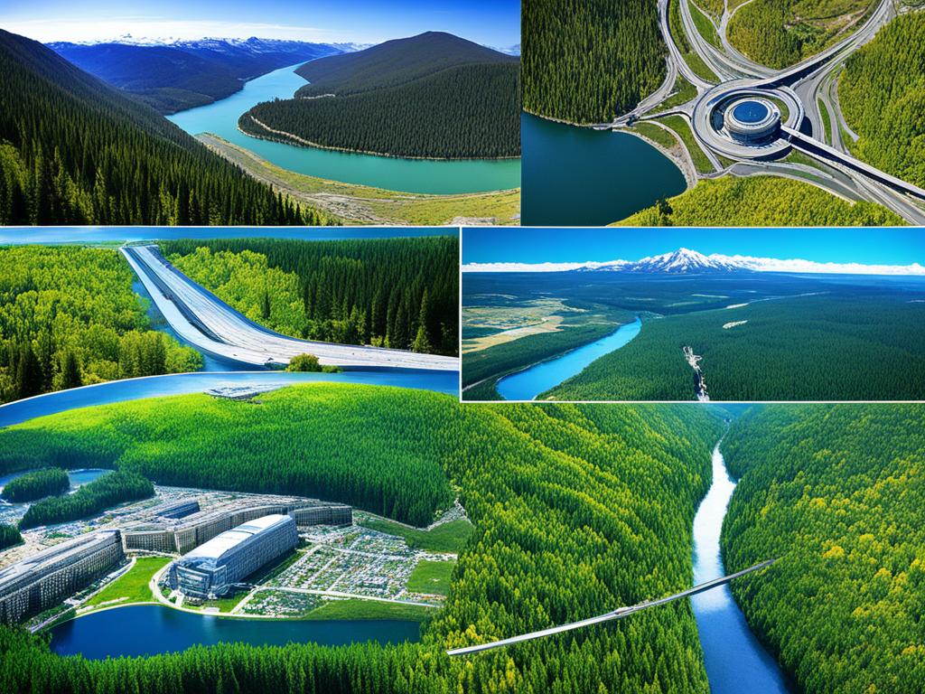
Remote Sensing: Techniques and Uses in Modern Geography
Explore cutting-edge remote sensing techniques and their applications in modern geography, including aerial photography, satellite imagery, GIS, and environmental monitoring.
Explore cutting-edge remote sensing techniques and their applications in modern geography, including aerial photography, satellite imagery, GIS, and environmental monitoring.

Discover the transformative power of Geographic Information Systems (GIS) in this comprehensive introduction, exploring its diverse applications and invaluable benefits across industries.


