The environmental regions of the Earth, known as climate zones, are belts of distinct climates. They circle our planet. These zones include tropical, dry, temperate, continental, and polar areas. They form due to Earth’s diverse landscapes.
Each area has its unique temperature and rainfall. This is because of its latitude, elevation, nearness to landmasses, and bodies of water. Russian-German scientist Wladimir Köppen, in the early 1900s, made a system to classify these zones. This system helps us understand our planet’s environmental regions and ecosystems.
This knowledge is crucial today. It helps us study biogeography, habitat diversity, and the effect of climate change.
Key Takeaways:
- The Earth’s climate zones are the horizontal belts of distinct climates that encircle the planet.
- Tropical, dry, temperate, continental, and polar zones are the major climate zones.
- The Köppen climate classification system is the most widely used system for categorizing climate zones.
- Climate zones are influenced by factors such as latitude, elevation, landmasses, bodies of water, and ocean currents.
- Understanding climate zones is crucial for studying biogeography, habitat diversity, and the impacts of climate change.
Introduction to Climate Zones
Climate zones are sections of the world with their own special climates. They are determined by the weather, location, or the types of plants and animals there. The climate zones of Earth are grouped using the Köppen climate classification.
This system sorts climates into five main types. It looks at the amount of rain and the temperature in each area.
Definition of Climate Zones
A climate zone is a part of the Earth with a certain kind of weather. They have regular temperatures, rainfall, and other weather features. These areas are identified by where they are on Earth, how close they are to water, and their height above sea level. These things affect the local weather and what life can survive there.
Importance of Categorizing Climate Zones
This sorting is key for dealing with the different weather conditions on our planet. Knowing about climate zones helps us plan for and handle issues with farming, building, using resources, and protecting nature. It also lets us keep an eye on how climate change is altering these zones.
Köppen Climate Classification System
The Köppen climate classification system was created by Wladimir Köppen in 1884. Since then, it has been updated but continues used worldwide. The system categorizes climates into five main groups, depending on rainfall and temperature.
These groups are tropical climates (A), dry climates (B), temperate climates (C), continental climates (D), and polar climates (E). Each main group is split into smaller sections based on their seasonal weather.
History of the Köppen System
In the late 19th century, Wladimir Köppen suggested the climate classification system. Climatologists like Rudolf Geiger have since refined it. The latest update was in 2018.
Despite some criticism, the Köppen climate classification system is the most common system used today.
Overview of the Five Major Climate Groups
There are five major climate groups according to the Köppen system:
- Zone A (tropical or equatorial)
- Zone B (arid or dry)
- Zone C (warm/mild temperate)
- Zone D (continental)
- Zone E (polar)
Each group has its own subgroups, depending on specific weather conditions. In some cases, a Zone H is used for highland climates.
Tropical Climates
Tropical climates are near the Equator and stay warm and rainy all year. Tropical rainforest climates stay hot and wet with rain every month. They have an average temperature of 20–30 °C.
These places include areas in South America, Africa, and South-east Asia.
Other Tropical Climates
Other types of tropical climates exist beyond the rainforests. They include tropical monsoon, with heavy rains for a season. There are also tropical savannas with clear wet and dry times, where grasslands take over the land.
Dry Climates
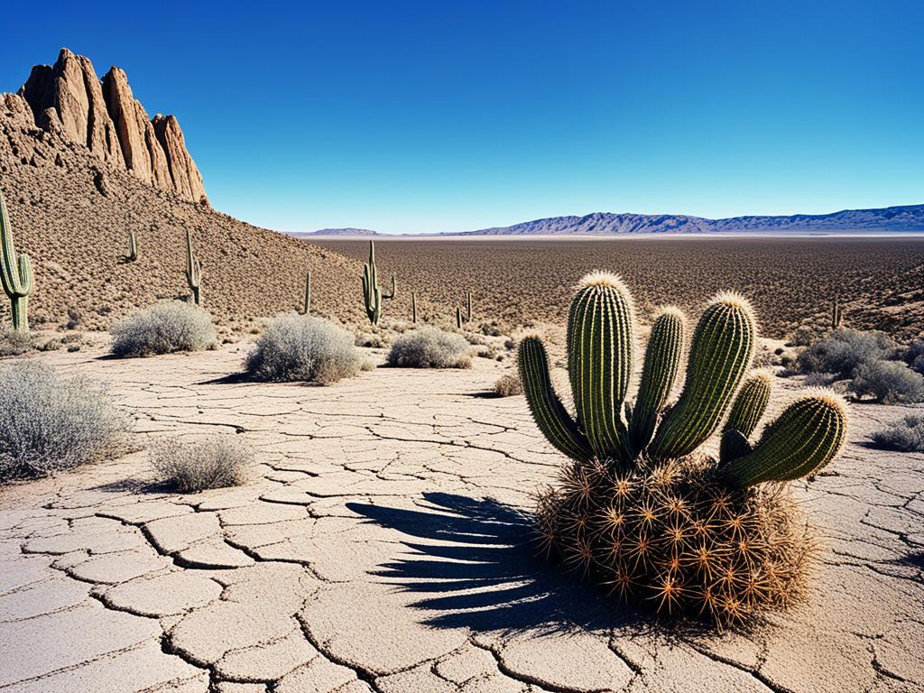
Dry or arid climate zones stay hot year-round but have little rain. Air moves down north and south of the tropical zone, creating high pressure. This makes places like desert climates very dry with almost no clouds. They can get extremely hot and very cold, too.

In dry climates, water evaporates quickly due to high temperatures and low humidity. That’s why there’s not much rain. Deserts are the driest areas, getting less than 250 millimeters of rain every year.
Even though it’s tough to live there, dry climates and desert climates have special plants and animals. You find things like cacti, succulents, and tough shrubs. Animals there, like camels and desert tortoises, have special skills to survive.
Environmental Regions: Understanding the Different Zones of the Earth
Temperate Climates
Temperate climates lie in Earth’s mid latitudes. They’re influenced by both land and water nearby. The coldest month drops to between 0 °C and 18 °C. Yet, at least one month reaches above 10 °C. In these areas, summers are warm and wet, often with thunderstorms. Winters are usually mild.
Continental Climates
Continental climates are much like temperate ones. But, they face bigger temperature swings. These areas are far from oceanic climates that moderate temperature changes. They have warm to cool summers but very cold winters. Winter temperatures can plummet below -22 °F (-30 °C).
Mediterranean Climate
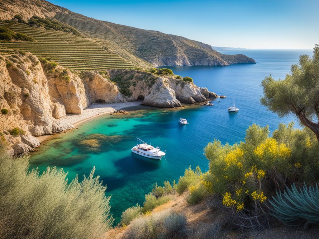
The Mediterranean climate is special because it has dry summers and mild, wet winters. These areas are often found on the western coasts of continents. They connect to specific patterns in weather and winds.
This climate type leads to unique kinds of plants, like the maquis in the Mediterranean and the chaparral in California.
Characteristics of Mediterranean Climate
Places with a Mediterranean climate lie between about 30° and 45° latitude north and south of the Equator. They’re on the western sides of continents.
Known as Csa and Csb, these areas have hot, dry summers and cool, wet winters. The range in annual temperature is smaller here than in some other regions. They receive between 35 to 90 cm (14 to 35 inches) of precipitation each year.
Global Distribution of Mediterranean Climate
Mediterranean climates can be found between 30 and 45 degrees north or south. They’re known for producing high-quality wines, olive oils, and bread.
Areas with a dry-summer climate are mainly on the western sides of continents. During summer and early fall, they might not get rain for four to six months. The amount of rainfall can vary a lot from year to year in these places.

Polar Climates
The polar regions are cold all year with no month going above 10 °C. They cover over 20% of Earth, mostly in the Arctic and Antarctic. These areas are known for their extreme cold and icy conditions.
Ice Cap Climate
In the Arctic and Antarctic, it’s always cold with no month breaking 0 °C. This means plants can’t grow there. A thick layer of ice and snow covers the ground. Antarctica holds the record for the coldest temperature: -89.2 °C (-128.6 °F) at Vostok Station.
Tundra Climate
A tundra climate is where the warmest month reaches 10 °C, but no higher. It’s still very cold, but some plants can grow. This includes dwarf shrubs and grasses, not trees. Tundra climates are found in the Rocky Mountains, the Alps, and in some parts of the Arctic and Antarctic.
Climate Zone Maps
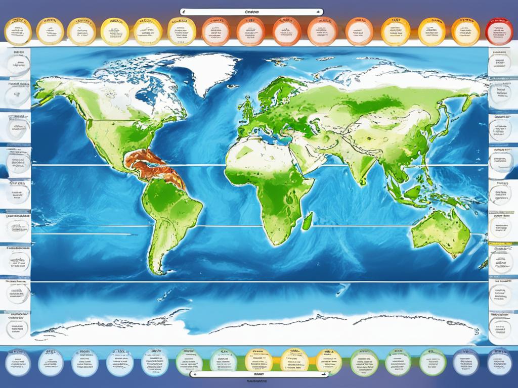
Climate zone maps show where different climate types are located worldwide. For example, tropical climates are near the equator. Dry climates are in places like northern and southern Africa. Meanwhile, temperate climates are found around the world. Continental climates exist in Canada and Russia’s interiors. Lastly, polar climates are at the planet’s top. These maps help us know where certain plants and animals can live.
They also show what areas might be affected by climate change. For farmers and gardeners, these maps are useful for choosing plants that will thrive in their area.
Interpretation of Climate Zone Maps
Climate zone maps, like the Köppen climate classification map, give us a look at different climate zones. They help us see the arrangements of tropical, dry, temperate, continental, and polar climates. This helps us understand the environment’s influence on local weather and wildlife. By carefully reviewing these maps, we can predict how climate change might affect various ecosystems. They also guide us in making land use and farming decisions that fit our local climate.

Impact of Climate Change on Climate Zones
The world’s temperature is going up because of human actions. This will change the climate areas we know. From 1950 to 2010, about 6% of Earth’s land became warmer and drier. We expect this trend to keep going as the weather changes. These changes are big news for ecosystems, different species, and what we do as people.
The kind of climates we have and where they are could keep changing. This is because of more greenhouse gases in the air. We might see more dry areas and some climates moving towards the poles. This could also mean some places we know might change or vanish. All of these changes will affect plants, animals, and how we live and eat. So, these changes in climate zones are very important to watch.
| Observed Climate Change Impacts | Projected Future Changes |
|---|---|
|
|
It’s key to keep an eye on how climate zones are changing. This way, we can plan better to protect nature and people. By understanding these changes, scientists and leaders can make plans to deal with the big effects of climate change.
Role of Satellites in Monitoring Climate Zones
Weather satellites are key in keeping an eye on Earth’s various climate zones over time. The GOES-R series satellites, for example, can check sea surface temperature and the Gulf Stream. These are crucial for a region’s climate. They also give us info about clouds and how the land’s temperature changes day to night. This helps scientists see how these shifts impact local climate.
GOES-R Series Satellites
The advanced GOES-R satellites work for the National Oceanic and Atmospheric Administration (NOAA). They give us lots of data to study climate zones and how they’re changing. They keep an eye on sea surface temperature and the Gulf Stream. Plus, they note the clouds and temperatures on land. This shows us the complex relationship of daily changes, affecting the local climate.
Joint Polar Satellite System (JPSS)
Working with the GOES-R, the JPSS offers global snapshots of things like air temperature and moisture in the air. It also gathers details on snow and ice, plants, and rainfall. The data these satellites collect are crucial. They help us understand how climate zones are changing due to the environment.
Applications of Climate Zone Knowledge
Knowing about climate zones is really useful, especially for gardening, farming, and city planning. It helps people and communities make better decisions. These choices can improve their lives and protect the earth.
Gardeners and farmers benefit a lot from climate zone info. It allows them to pick the best plants and design. Maps like plant hardiness zones point out what can grow well in an area. This is key for a good harvest and to keep gardens lively and eco-friendly.
City planning also uses climate zone knowledge. Planners use it to fight city heat and use less energy. They also aim to add more green areas. This makes cities nicer to live in and helps the planet weather climate change.
Source Links
- https://www.treehugger.com/climate-zones-5211360
- https://www.metoffice.gov.uk/weather/climate/climate-explained/climate-zones
- https://sealevel.jpl.nasa.gov/ocean-observation/understanding-climate/the-earth
- https://slcc.pressbooks.pub/worldgeography/chapter/1-7/
- https://education.nationalgeographic.org/resource/koppen-climate-classification-system/
- https://www.britannica.com/science/Koppen-climate-classification
- https://climate-box.com/textbooks/the-problem-of-climate-change/2-2-effects-on-plants-and-animals/
- https://scijinks.gov/climate-zones/
- https://www.britannica.com/science/Mediterranean-climate
- https://en.wikipedia.org/wiki/Mediterranean_climate
- https://en.wikipedia.org/wiki/Polar_climate
- https://letstalkscience.ca/educational-resources/backgrounders/climate-polar-regions
- https://www.noaa.gov/education/resource-collections/climate/climate-change-impacts
- https://scied.ucar.edu/learning-zone/climate-change-impacts/regional
- https://letstalkscience.ca/educational-resources/backgrounders/7-ways-satellites-help-fight-climate-change
- https://earth.org/data_visualization/how-satellites-help-tackle-climate-change/
- https://www.nature.com/scitable/knowledge/library/introduction-to-the-basic-drivers-of-climate-13368032/
- https://essd.copernicus.org/articles/14/3835/2022/


