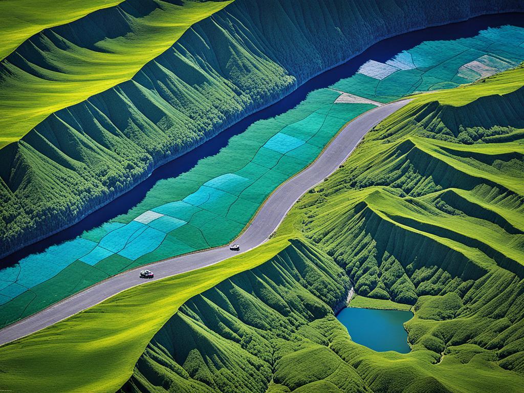
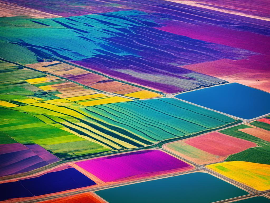
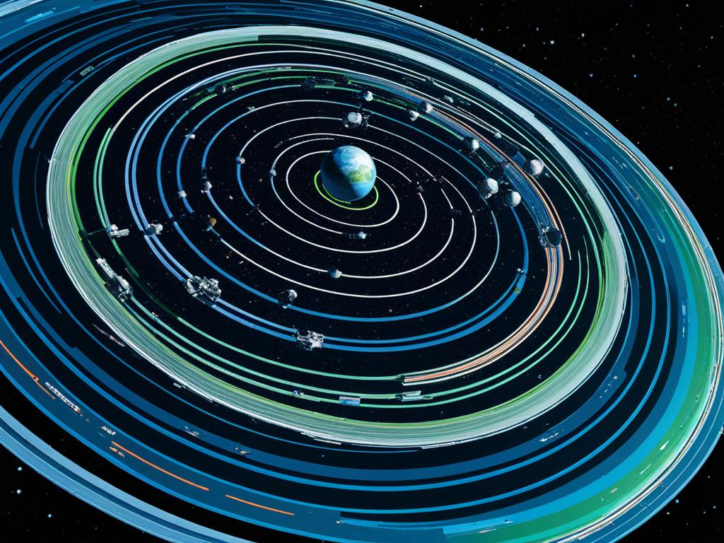
Remote sensing helps gather info about something from a distance. We don’t have to touch it. This technique is vital for learning about things difficult to approach or that need special study. It’s often used in geography, with most tools far above the ground or out in space. For instance, space-borne methods involve sensors on orbiting satellites. Aerial systems use sensors on planes. This approach is key in fields like weather studies, ocean research, and farming.
Key Takeaways
- Remote sensing is the acquisition of info about an object or location without physical contact.
- Space-borne remote sensing uses sensors on satellites, while aerial imaging systems use sensors on airplanes.
- Remote sensing has numerous applications in geography, including mapping, environmental monitoring, and land use analysis.
- Key remote sensing techniques include aerial photography, satellite imagery, and geographic information systems (GIS).
- Advanced methods like multispectral imaging, thermal infrared sensing, and LIDAR provide enhanced capabilities for geographers.
What is Remote Sensing?
Remote sensing is about getting info from far away without touching it. There are two kinds: active and passive. Active methods send out a signal to the object, using tools like laser beams. Passive methods use the sun’s light that bounces off objects to gather data.
Acquisition of Information Without Physical Contact
The goal of remote sensing is to learn about objects or events without direct contact. In places where it’s hard to reach, or more data is needed, we use technologies that work from afar. This often means using devices in space or on aircraft.
Active and Passive Remote Sensing
Active sensing, including radar and lidar, sends out energy to see its target. Passive sensing, like spectrometers and radiometers, depends on the sun’s reflection. Both methods help us discover insights about our world.
Common Instruments for Active and Passive Sensing
Active sensing tools are radars, lidars, and more. Passive tools include spectrometers and radiometers. These gadgets are essential for getting remote data, allowing us to discover without direct touch.
Applications of Remote Sensing in Geography
Remote sensing is a key tool in geography, helping us understand and take care of our environment. It’s used for everything from mapping and surveying to environmental monitoring and land use analysis. For both geographers and policymakers, it’s essential.
Mapping and Surveying
Remote sensing is crucial for mapping and surveying our world. It gathers data from space and the air, showing us where things are and how far apart they are. This helps with making maps, planning cities, buying and selling land, and building new things.
Environmental Monitoring
Remote sensing also keeps an eye on our planet. It looks at things like how deep the oceans are, where the currents go, and what the clouds are like. This helps us better understand and prepare for climate change. It’s key in tracking sea level rise, deforestation, and stopping harmful plants and animals from spreading.
Land Use Analysis
Moreover, remote sensing offers detailed land use analysis. It tells us about the different types of land, like cities, farms, and natural areas. This is important for city planners, resource managers, and policymakers. It helps them make smart choices about how to use and protect our land.

Remote Sensing Techniques
Geography uses several remote sensing techniques. Aerial photography takes photos from airplanes. It captures images of large areas on Earth’s surface. Satellite imagery collects data and pictures from sensors on orbiting satellites. Geographic Information Systems (GIS) help map and study space data from these methods.
Aerial Photography
In geography, aerial photography is common. Planes with cameras photograph the Earth from above. This shows us the Earth’s landscape in detail. Color-infrared photos are great for studying plant life. They highlight healthy plants in red.
Satellite Imagery
Satellite imagery is vital in geography. Satellites take pictures from space. They can study the Earth’s land and air. For instance, Landsat satellites take images as they travel around the Earth.
Geographic Information Systems (GIS)
Geographic Information Systems (GIS) are essential for mapping space data. They combine information from different sources. This includes satellite images and aerial photos. Geographers use GIS for many studies, like monitoring the environment.
| Remote Sensing Technique | Description | Key Applications |
|---|---|---|
| Aerial Photography | Cameras mounted on aircraft capture images of large areas on the Earth’s surface, providing a bird’s-eye view of the landscape. | Interpretation of natural resources, land use analysis, and urban planning. |
| Satellite Imagery | Sensors on satellites orbiting the Earth collect data and images that can be used to analyze various aspects of the planet’s surface and atmosphere. | Environmental monitoring, disaster response, and resource management. |
| Geographic Information Systems (GIS) | Computer-based tools that enable the mapping, analysis, and visualization of spatial data collected through remote sensing. | Comprehensive geographic information and insights for a wide range of applications, from land use patterns to environmental monitoring. |
Advanced Remote Sensing Methods
There are advanced remote sensing methods beyond the basics. For example, multispectral imaging can see energy from different parts of the spectrum. This helps study the Earth’s surface in detail, like mapping land and monitoring plants and minerals.
Thermal infrared sensing looks at the heat given off by objects. It’s great for spotting urban heat islands and forest fires. By looking at changes in temperature, we can find unusual heat patterns. This is key for city planning, protecting nature, and responding to disasters.
Multispectral Imaging
This method uses sensors that capture data in different spectral bands. It covers everything from visible light to near-infrared waves. This way, we get a full picture of what’s on the Earth’s surface. Everything shows up differently, giving us clues about its makeup.
Thermal Infrared Sensing
Thermal infrared sensing looks for the heat things give off. It helps with stuff like spotting areas in cities that are too hot. These are the urban heat islands. It’s also great for knowing where fires are. This helps people keep safe and protect their homes from burning.
LIDAR
LIDAR uses lasers to make detailed 3D maps of the Earth’s surface. It bounces light off the ground and measures the time it takes to come back. This tells us how high things are. It’s super useful for things like city planning, looking after forests, and planning for disasters.

Remote Sensing: Techniques and Uses in Modern Geography
Remote sensing is key in today’s world of geography. It provides data for many uses, from mapping to environmental checks. Using special methods, geographers can look deeply into the Earth’s features and workings like never before. This helps in understanding our planet better.
Modern geography has changed a lot because of remote sensing techniques. Now, geographers can map Earth’s surface very accurately. They can also track how our environment is changing and figure out how we use our land. This is useful for making cities better, managing resources, and keeping the Earth healthy.
Separately, remote sensing is helping with big global issues. It’s being used to tackle things like climate change and handling natural resources better. It’s also important for responding to disasters quickly and for doing scientific research.
Limitations and Challenges of Remote Sensing
Remote sensing has huge advantages but also comes with limits and challenges. One big issue is the cost of buying and studying the data. This can be expensive, especially for small areas. Also, human error plays a part. Mistakes made by people using the sensors or reading the images can happen.
Problems can also arise if the sensors are not set up correctly, known as instrumentation errors. Mistakes in identifying what things are in the images can also occur. For example, if something looks like something else, it might not be analyzed correctly. This could cause wrong data. Additionally, things that aren’t directly measured can still affect the results.
Even with these issues, remote sensing is very important in today’s geography. It helps us better understand the world. Knowing these limits, scientists work hard to avoid or correct errors. This allows them to use this technology effectively. It’s all about learning how to make the most of the data it gives us.
Importance of Remote Sensing in Geography
Remote sensing is a top tool for geographers. It gives large area coverage. This means we can look at things over huge parts of Earth, from land to water to the sky. It also lets us keep an eye on how things change over time everywhere. We can quickly use this data for many things, like predicting disasters or studying climate change. So, remote sensing is key for today’s geography work.
Large Area Coverage
With remote sensing, geographers see and learn about Earth on a big scale. They can check out how different parts of Earth, like land and oceans, fit together and how they change. This big view is vital for dealing with worldwide issues, such as global warming, cutting down forests, and using nature wisely.
Repetitive Monitoring
Remote sensing is great at watching things change over time in the same places. This is super useful for checking out things that are always evolving, like weather and how we use the land. By keeping an eye on these areas, geographers can figure out the best ways to protect them and keep them healthy.
Rapid Data Analysis
Remote sensing data can be looked at and understood fast. This quick analysis helps geographers address problems quickly and make plans that are right up to date. It’s very important for dealing with emergencies and looking after our planet better. This way, decisions that affect Earth and people can be smart and based on clear facts.
Satellite Orbits and Remote Sensing
There are different orbits around the Earth where satellites can be placed. Each orbit has its own benefits. There are three main orbit types: low-Earth orbit, medium-Earth orbit, and geostationary orbit.
Low-Earth Orbit
Satellites in low-Earth orbit are about 160 to 2,000 km above the Earth. They follow different paths to cover the whole globe, including polar areas. This altitude is perfect for missions like Landsat 8 and Landsat 9, collecting images from 705 km up. They use a special orbit that matches the sun’s path, giving them a full global view several times a day.
Medium-Earth Orbit
Medium-Earth orbit is 2,000 to 35,500 km above the planet. Satellites here take about 12 hours to circle the Earth. This allows them to serve well in communications and navigation systems, such as the Galileo system run by the European Space Agency.
Geostationary Orbit
Geostationary satellites are very high up, at 35,786 km. They stay in one spot above the Earth, moving at the same speed as our planet’s rotation. This position allows them to keep constant watch over a specific area. They are perfect for tasks that need to watch the weather all the time, like the GOES weather satellites by NASA and NOAA.

| Orbit Type | Altitude Range | Orbit Period | Key Characteristics |
|---|---|---|---|
| Low-Earth Orbit | 160 – 2,000 km | Approximately 90 minutes | Able to follow multiple orbital tracks for global coverage, including polar regions. Examples: Landsat 8 and Landsat 9 |
| Medium-Earth Orbit | 2,000 – 35,500 km | Approximately 12 hours | Consistent, predictable coverage for applications like telecommunications and global navigation. Example: Galileo GNSS |
| Geostationary Orbit | 35,786 km | Matches Earth’s rotation | Maintains a fixed position relative to the Earth’s surface, enabling continuous monitoring of the same area. Example: GOES weather satellites |
Electromagnetic Spectrum in Remote Sensing
Remote sensing uses the full range of the electromagnetic spectrum to explore Earth and other places. Various types of energy, carried by different wavelengths, interact in special ways with our planet. This lets us study Earth from a distance. The Sun is our main source of this energy, and different parts of Earth reflect or emit energy uniquely.
The visible spectrum includes the colors we see, from violet to red. At the edges of what we can see are ultraviolet and infrared energy. There’s also a microwave region, useful because it can go through the atmosphere. This vast range of energy helps us see details of Earth and beyond.
Satellites have tools to measure all types of electromagnetic radiation. They look at Earth’s features in visible, infrared, and microwave light. There are also special radar systems that work in the microwave band. Knowing how each type of energy interacts with Earth helps us use technology effectively for understanding our world better.
Remote Sensing Sensors and Platforms
Remote sensing uses many types of sensors and platforms to gather important data about Earth. Some sensors, like radiometers and spectrometers, pick up the Sun’s energy from our planet’s surface. They do this without adding their own light.
On the other hand, sensors such as radars and lidars make and send out signals like radio waves or lasers. They then analyze the energy those signals bounce back, even without sunlight. This lets them collect data in a lot of different situations.
These sensors work from different places to look at Earth in various ways. Satellites, flying in space around Earth, see large areas over and over again. Sensors put on planes can get closer views but on smaller parts of land. Which sensor and platform to use depends on what we’re looking for and where.
Source Links
- https://www.usgs.gov/faqs/what-remote-sensing-and-what-it-used
- https://study.com/learn/lesson/remote-sensing-geography-examples.html
- https://www.earthdata.nasa.gov/learn/backgrounders/remote-sensing
- https://www.heavy.ai/technical-glossary/remote-sensing
- https://gisgeography.com/remote-sensing-applications/
- https://www.mdpi.com/2072-4292/16/3/591
- https://natural-resources.canada.ca/maps-tools-and-publications/satellite-imagery-elevation-data-and-air-photos/tutorial-fundamentals-remote-sensing/introduction/the-electromagnetic-spectrum/14623


